


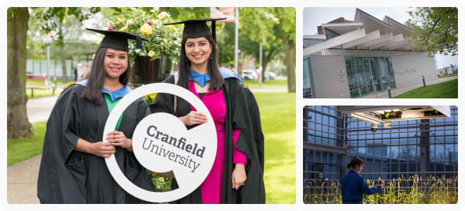

FindAMasters summary
Are you passionate about technology and data? Are you interested in solving real-world problems and making a positive impact? The MSc in Geographical Information Management at our university is the perfect programme for you. Developed in collaboration with industry, this course equips you with the skills needed for a successful career in GIS and resource management. You'll gain experience in spatial problem-solving and develop personal and leadership skills. With a focus on integrating technologies like database management and digital cartography, you'll be prepared for a rewarding career in sectors that use geographical information technologies. Join us and become a leader in resource management.
About the course
Develop your career in GIS and resource management
Sustainable use or conservation of the earth's resources requires the organisation, utilisation and integration of technologies such as database management, image processing and digital cartography, to ensure provision of high quality, reliable and up-to-date information. The Advanced GIS and Remote Sensing master’s (previously known as Geographical Information Management) is a unique and innovative course that has been developed in direct collaboration with industry and in response to the increased global demand for multi-disciplinary managers, advisors and consultants in resource management. Taught by leading academic experts, this course is unique in providing balanced coverage of the key GIS technologies to prepare you for a successful career in the rapidly growing geospatial sector.
 Loading...
Entry Requirements
A first or second class UK Honours degree in a relevant science, engineering or related discipline; or the international equivalent of these UK qualifications. Other relevant qualifications, together with significant experience, may be considered.


 Continue with Facebook